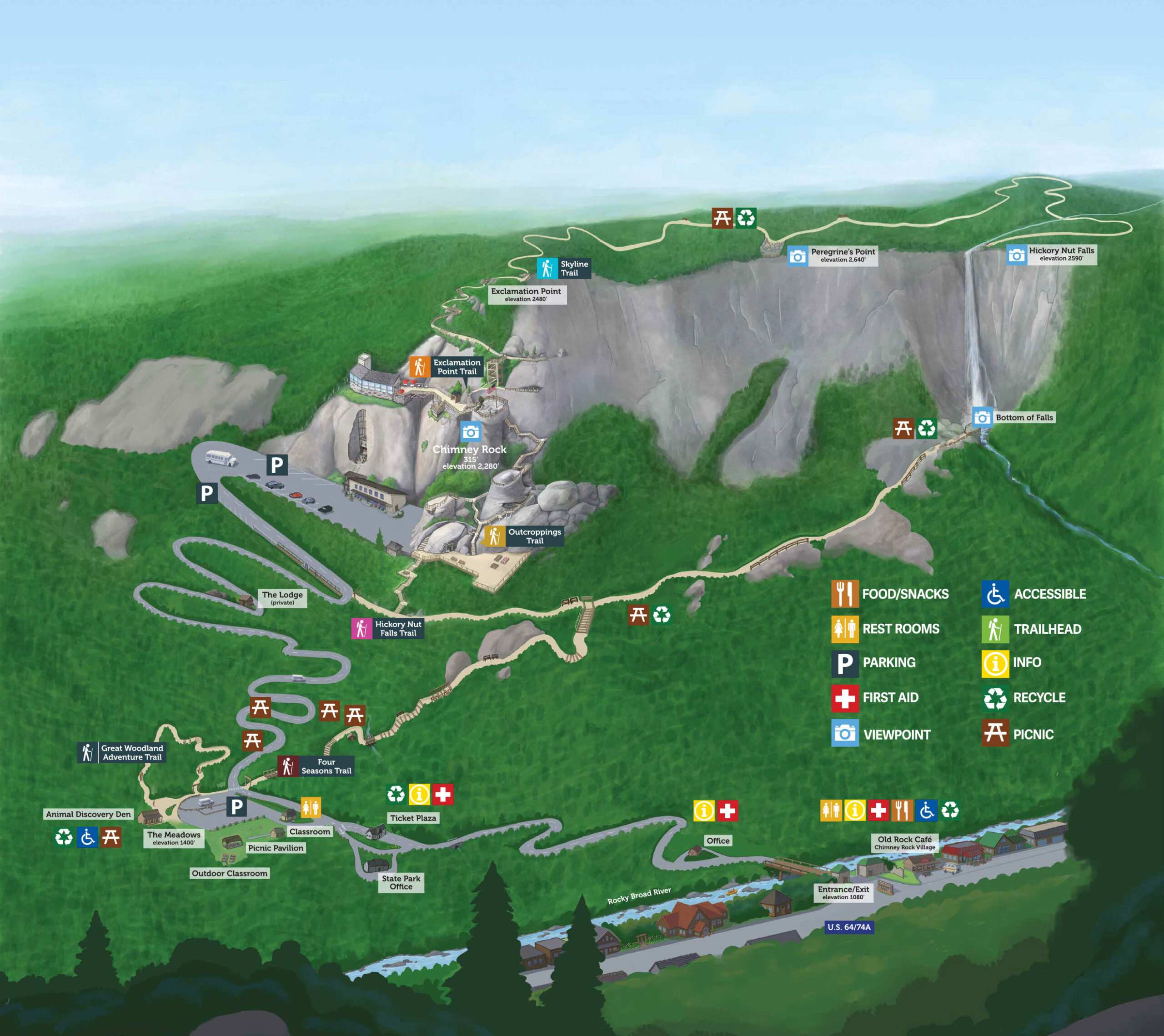
Directions
At least you won’t get lost looking for directions. (Psssst! They’re right here.)
From Biltmore
Exit Biltmore and turn right onto US Highway 25 S (Hendersonville Road). Take Interstate 40 East to Exit #53 (Blue Ridge Parkway and Highway 74A East). Stay on 74A East for 20 miles and the Park entrance will be on the right.
From East Asheville
Take Interstate 240 East to Exit #9 (Blue Ridge Parkway and Highway 74A East). Stay on 74A East for 20 miles and the Park entrance will be on the right.
From West Asheville
Take Interstate 26 East toward Hendersonville to Exit #49A (Bat Cave and Highway 64 East). Stay on 64 East for 18 miles and the Park entrance will be on the right.
From Blue Ridge Parkway
Exit the Blue Ridge Parkway at Milepost 384.7 near Asheville onto Highway 74A East. Stay on 74A East for 20 miles and the Park entrance will be on the right.
From Charlotte
Take Interstate 85 South to Exit #10 (King’s Mountain and Highway 74 West). Drive on 74 West for about one hour. At Exit #167, turn right onto Highway 9 North. Go 14 miles to the stop sign (Lake Lure will be opposite the stop sign). Turn left at the stop sign onto Highway 64/74A West. Go 4 miles and the Park entrance will be on the left.
From Statesville, Winston-Salem, Greensboro and Raleigh, NC
Follow Interstate 40 West to Exit #103 in Morganton. Turn onto Highway 64 West. Follow 64 West to Rutherfordton. 64 West will join with Highway 74A West. Follow Highway 64/74A West for 20 miles and the Park entrance will be on the left.
From Cherokee/Maggie Valley area
Follow Highway 19 toward Interstate 40 East and Asheville. Take Interstate 40 East to Exit #53A (Blue Ridge Parkway and Highway 74A East). Stay on 74A East for 20 miles and the Park entrance will be on the right.
From South Carolina (Interstate 26 corridor)
Follow Interstate 26 West into North Carolina. At the first exit in North Carolina, Exit #67 (Columbus and Highway 108), turn right onto Highway 108 East. Follow 108 East for approximately 6 miles to the intersection of Highway 108 and Highway 9 (a traffic stoplight). Turn left onto Highway 9 North. Go 14 miles to the stop sign (Lake Lure will be in front of you). Turn left at the stop sign onto Highway 64/74A West. Go 4 miles and the Park entrance will be on the left.
From Greenville, SC area
Take Highway 25 North (White Horse Road) into North Carolina. Follow signs to Interstate 26 West and Asheville (do not take Highway 25 into Hendersonville). Get on Interstate 26 West. At Exit #49A (Bat Cave and Highway 64 East), turn right onto Highway 64 East. Go 18 miles and the Park entrance will be on the right.
From Atlanta and other points in Georgia
Take Interstate 85 North into South Carolina. In the Greenville, SC area, exit onto Interstate 185. Go one exit to Exit #1 (White Horse Road and Highway 25). Turn left onto Highway 25 North. Follow 25 North for about one hour into North Carolina. Follow signs to Interstate 26 West and Asheville (do not take Highway 25 into Hendersonville). Get on Interstate 26 West. At Exit #49A (Bat Cave and Highway 64 East), turn right onto Highway 64 East. Go 18 miles and the Park entrance will be on the right.
Directions & Maps
You can also get maps and directions at MapQuest or Google Maps. Just type in our address: Highway 64/74A Chimney Rock, NC 28720.
Got GPS? Type in “431 Main St. Chimney Rock, NC 28720.” Your GPS directions will lead you to our gate!
Here are the Park’s GPS coordinates: 35.432799, -82.250260


